Glide Through the Winter 7,000 ft.
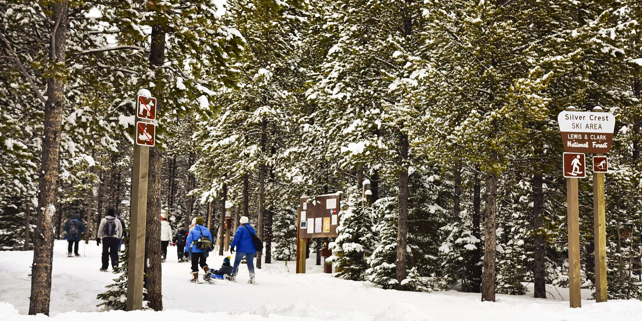
A number of trails take off from atop King's Hill Pass including Deadman, O'Brien Creek, or if you adventure to the top of Porphyry Peak, there is the Mizpah Bowl trail. At the King's Hill Recreational Site you can access Silvercrest Country Trails, a trail network of various lengths. The ski season in higher elevations can run from November through May. Parking and warming huts are available to the public.
Silvercrest Trails
| Dates Groomed November - April | Difficulty Level Easy - Intermediate |
| Elevation 7,000 - 8232 ft | Pets Allowed No |
| Distance From Highway 250 ft | Cell Phone Coverage 0 of 10 |
| Fee Free | Highway 89 |
| Handicap Accessible Yes | County Cascade |
| Trail Length 14.2 miles with many routes within | Mountain Range Little Belt |
| Elevation Gain 1200+ feet | Nearest Town Neihart, MT |
| Bathrooms Yes | Ranger District Belt Creek |
| Water No | Phone Number (406)236-5511 |
Download Silvercrest Trails Map
O'Brien Creek Trail
A pleasant 8 mile point-to-point ski down O'Brien Creek drainage from Kings Hill Pass to the town of Neihart [Overview and Map]
| Dates Groomed Un-groomed | Difficulty Level Experienced |
| Elevation 8232 ft | Pets Allowed Yes |
| Distance From Highway 250 ft | Cell Phone Coverage 0 of 10 |
| Fee Free | Highway 89 |
| Handicap Accessible Yes | County Cascade |
| Trail Length 8 miles | Mountain Range Little Belt |
| Elevation Change +500 ft, -2000 ft | Nearest Town Neihart, MT |
| Bathrooms No | Ranger District Belt Creek |
| Water No | Phone Number (406)236-5511 |
Checklist What to Bring
- Skis with bindings
- Boots
- Poles
- Jacket, snow pants, hat, gloves, facemask
- Map
- Sunscreen
- Chap stick
- Goggles/Sunglasses
- Knife/Multi-tool
- First-Aid-Kit
- Lighter
- Snacks
- Water
Winter Trail Locations