High Mountain Access 7,122 ft.
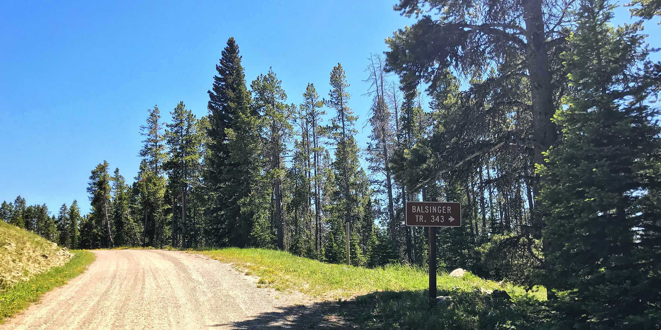
This is a small parking lot and close access to the motorcycle trail 343 which meets up with Taylor Hills Trailhead and Monument Peak. From Monument Peak you can also access the Deep Creek Figure and many more trails in that area. Logging Creek Campground is located only 50 minutes away and is a great place to camp if you need more than one day to explore this area. Remember you will be sharing this trail with other people; hikers, bikers, ATV and horseback riders.
Directions to Balsinger Trailhead
From Highway 89 take Belt Creek Rd. 16.5 miles / 51 min:
Head 9.9 miles southwest on Belt Park Rd. Take Forest Service Rd 839/586 which turns into Divide Road for 6.5 miles. Destination will be on the right.
Info & Contact
| Dates Open Contact Ranger Station | Shared ATV, Horse, Mtn. Bike, Hike |
| Elevation 7,122 ft. (2,171 m) | Pets Allowed Yes |
| Distance From Highway 16.5 miles | Cell Phone Coverage 0 of 10 |
| Fee $0 | Nearest Highway 89 |
| Handicap Accessible No | County Cascade |
| Sign in Box Yes | Mountain Range Little Belt |
| Trailer Parking Yes | Nearest Town Neihart, MT |
| Bathroom(s) No | Ranger District Belt Creek |
| Water No | Phone Number 406.236.5511 |
Nearby Trailheads
Other trailheads located close to Balsinger:
- Taylor Hills 5 miles southeast on Divide Road
- South Pilgrim Creek 1.5 miles west on Divide Road
- Deep Creek 11.7 miles northwest on Divide Rd.
Location
Download Motor Trail Map HERE